Shuinandong Fishing Port
Updates : 2022-12-05
Popularity 5984
Introduction
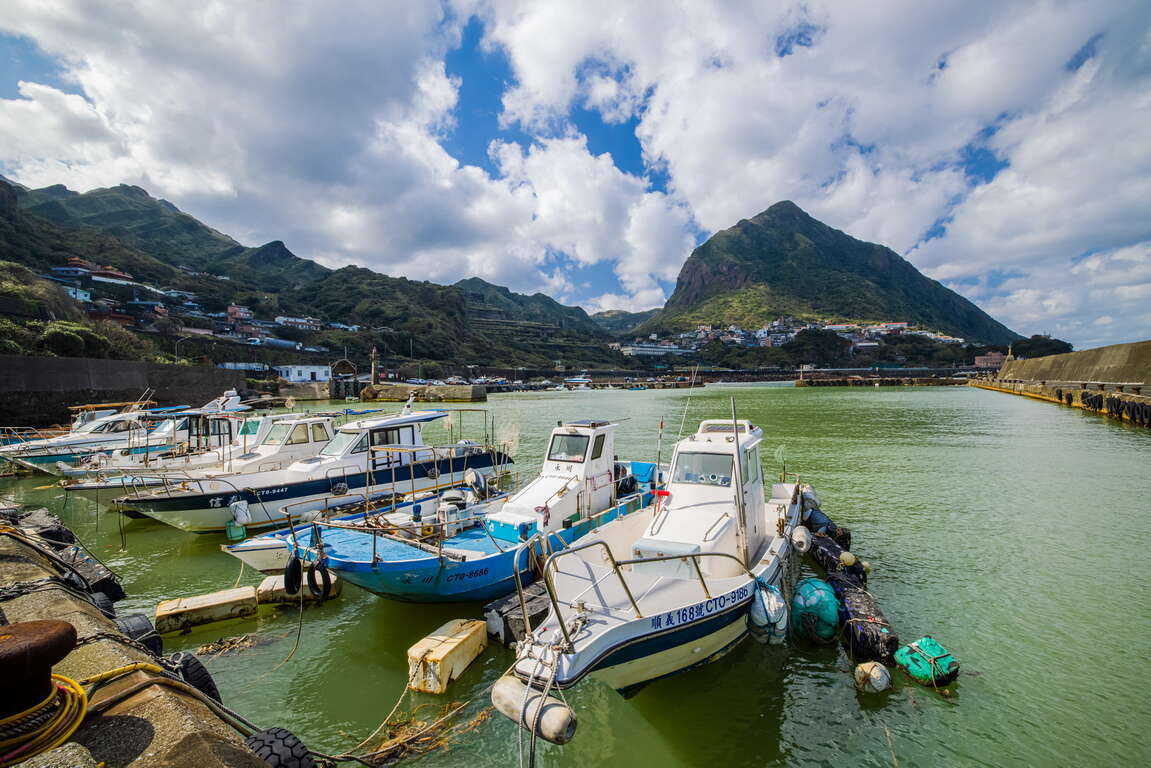
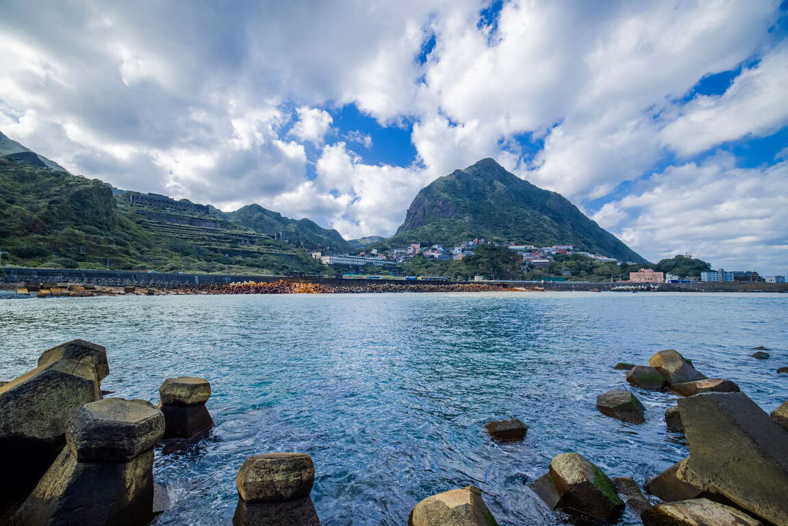
Part of the water surface of Shuinandong Fishing Port is of a color gradient of gold and blue, similar to the nearby Yinyang Sea. This is because rocks in Jinguashi contain high content of pyrite, and the northeastern coast of Taiwan is rainy, so a lot of rainwater penetrates the ore, turning the water acidic. The rainwater then takes the iron hydroxide from the ore with it into the ocean. The currents in the bay of Shuinandong lack the ability to quickly diffuse the water. As a result, a high amount of yellowish-brown, iron hydroxide floats on the water surface here, creating this spectacle. In fact, this layer of yellow suspended matter is only about three meters below sea level. Below that is blue seawater.
Those who enjoy fishing have shared on the Internet that the number of round scads in Shuinandong Fishing Port is astonishing. Some fishing enthusiasts find great success here with hand poles, while others used sinking fly lines outside the embankment. But it is said that there are more fishermen than fish here.
On the hill next to Changren Community Center, there is a viewing platform called Changren Pavilion. You can overlook the former refinery of Taiwan Metal Mining Corp (Remains of the 13 Levels), Shuinandong settlement, Shuinandong Fishing Port, and Coastal Highway with excellent view. This is indeed the best place to see Shuinandong Fishing Port.
Source: Field interviews.
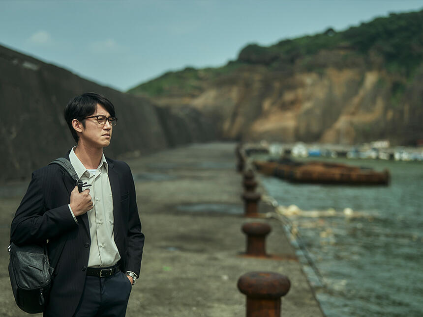
Photo courtesy: "The World Between Us" by PTS Taiwan.


