Go to the main content section Anchor point

New Taipei City Travel

Tamsui-Kavalan Trails: Hand-made trails, documentaries, and books

Anchor point
The Tamsui-Kavalan Trails were an important mountain trail network that spanned across the Taipei Basin and Lanyang Plain during the Qing Dynasty. They played a crucial role in transportation between these two points before the TRA launched the Yilan Line. The Tamsui-Kavalan Trails should not be regarded simply as a “route” connecting Tamsui Subprefecture and Kavalan Subprefecture. Instead, over the past 200 years or so, the northern section of Xueshan (Xue Mountain) has held invaluable historical memories, including indigenous hunting paths, the footprints of Han people, trading posts, and military patrols. Countless ancestors traversed these dozens of intricate and meandering mountain paths. The Tamsui-Kavalan Trails also bore witness to the development of Taipei City, New Taipei City, Keelung, and Yilan, and can be regarded as Taiwan's pilgrimage route. Today, it has been designated as a “National-Level Green Trail”.
淡蘭古道中路:北勢溪古道


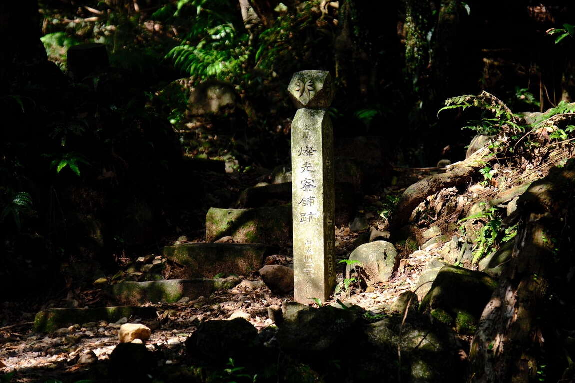
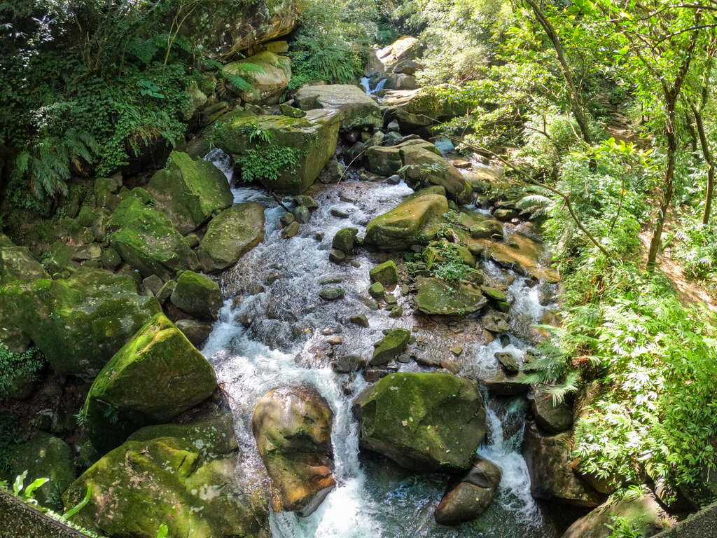
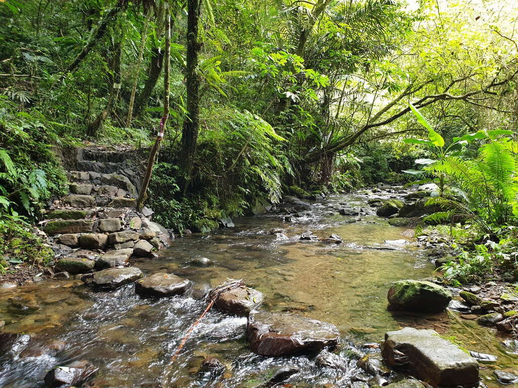
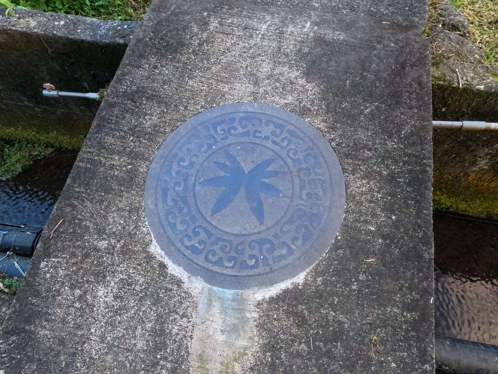
2015 and 2016 – “Reappearing the Centuries-Old Tamsui-Kavalan Trails”After the advent of railways and national freeways, the entire world underwent a significant transportation revolution. The Tamsui-Kavalan Trails, which had lost their original transportation function, gradually faded from public view. Nevertheless, for over a century, they have quietly existed within the mountainous region between Taipei and Yilan. Since 2015 and 2016, the Taiwan Thousand Miles Trail Association has collaborated with Taipei City, New Taipei City, Keelung, and Yilan across multiple counties and cities in the joint effort of the “Reappearing the Centuries-Old Tamsui-Kavalan Trails” project. By reviewing literature, maps, interviews, and other sources of information, the Taiwan Thousand Miles Trail Association has obtained the initial route background and, in conjunction with historical, cultural, landscape, recreational system, safety, and other considerations, designed the systematic Tamsui-Kavalan trail routes we have today. It has also adopted the twin-bristle fern as the identifying symbol, establishing the brand of the Tamsui-Kavalan Trails.

金字碑古道

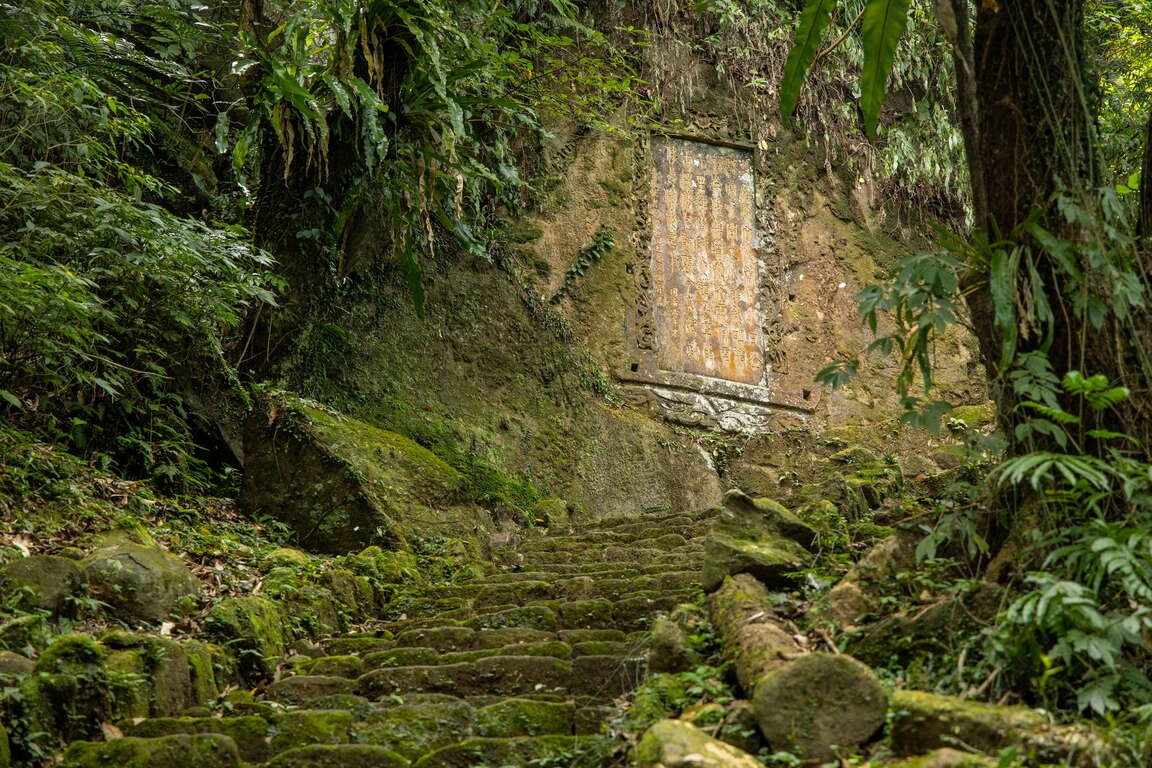
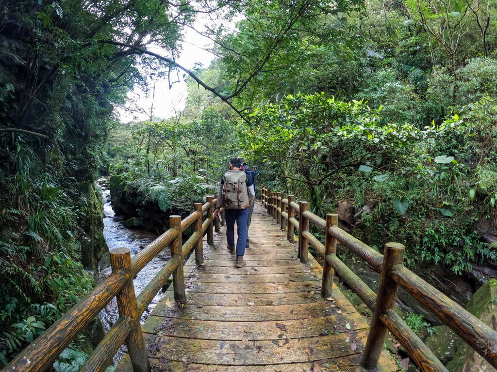
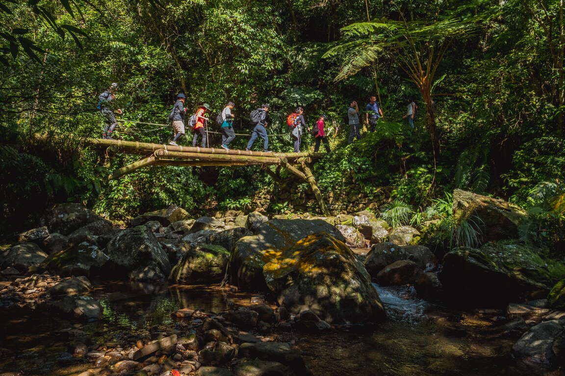
Combining public and private resources, the government and civilians collaborated to progressively restore these ancient trails using the handcrafted trail method. The concept of handcrafted trails relies not on heavy machinery and construction contractors, but employs simple tools and locally sourced materials instead. Through the participation of volunteers, a collective effort has been made to restore the trails, ensuring their harmonious integration into the existing landscape while preserving the essence of the original cultural pathways. After years of dedicated work, the centuries-old Tamsui-Kavalan Trails, with their rich and enduring history, have been rejuvenated.
淡蘭古道北路:金字碑古道
中坑古道


2018 – “Tamsui-Kavalan Trails Trilogy”
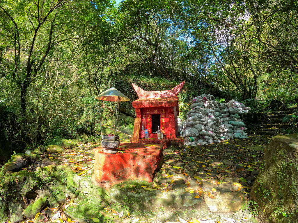
To promote the ecology and culture of the Tamsui-Kavalan Trails, the Tourism and Travel Department of the New Taipei City Government collaborated with the internationally acclaimed Director Xiao Qing-yang. They traversed the northern, central, and southern sections of the Tamsui-Kavalan Trails, resulting in the creation of the "Tamsui-Kavalan Trails Trilogy". Director Xiao Qing-yang, through his work spanning from "The Tao of Kung Fu" and "The Tao of Ancestors" to "The Tao of Health" within these centuries-old trails, orchestrated live performances by traditional opera musicians and captured the sounds of nature, including insect chirping, bird calls, and the flowing river water. This endeavor beautifully illustrates the multifaceted vitality of these historical trails.


The “Tamsui-Kavalan Trails Trilogy” was honored with the first prize in the Sports and Leisure category at the 14th ART & TUR – International Tourism Film Festival in 2021. In 2023, the original soundtrack album “Beginningless Beginning” produced for “Tamsui-Kavalan Trails Trilogy” achieved a remarkable feat by winning the Best Recording Package award at the 65th Grammy Awards, propelling Tamsui-Kavalan Trails onto the international stage
葡萄牙國際觀光電影節運動與休閒類宣傳片首獎


2019 – “Tamsui-Kavalan Trails – The Northern Section”
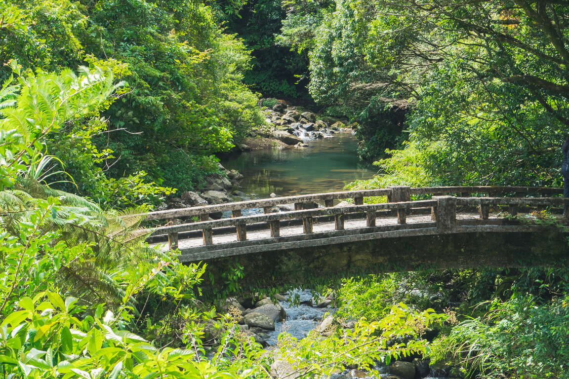
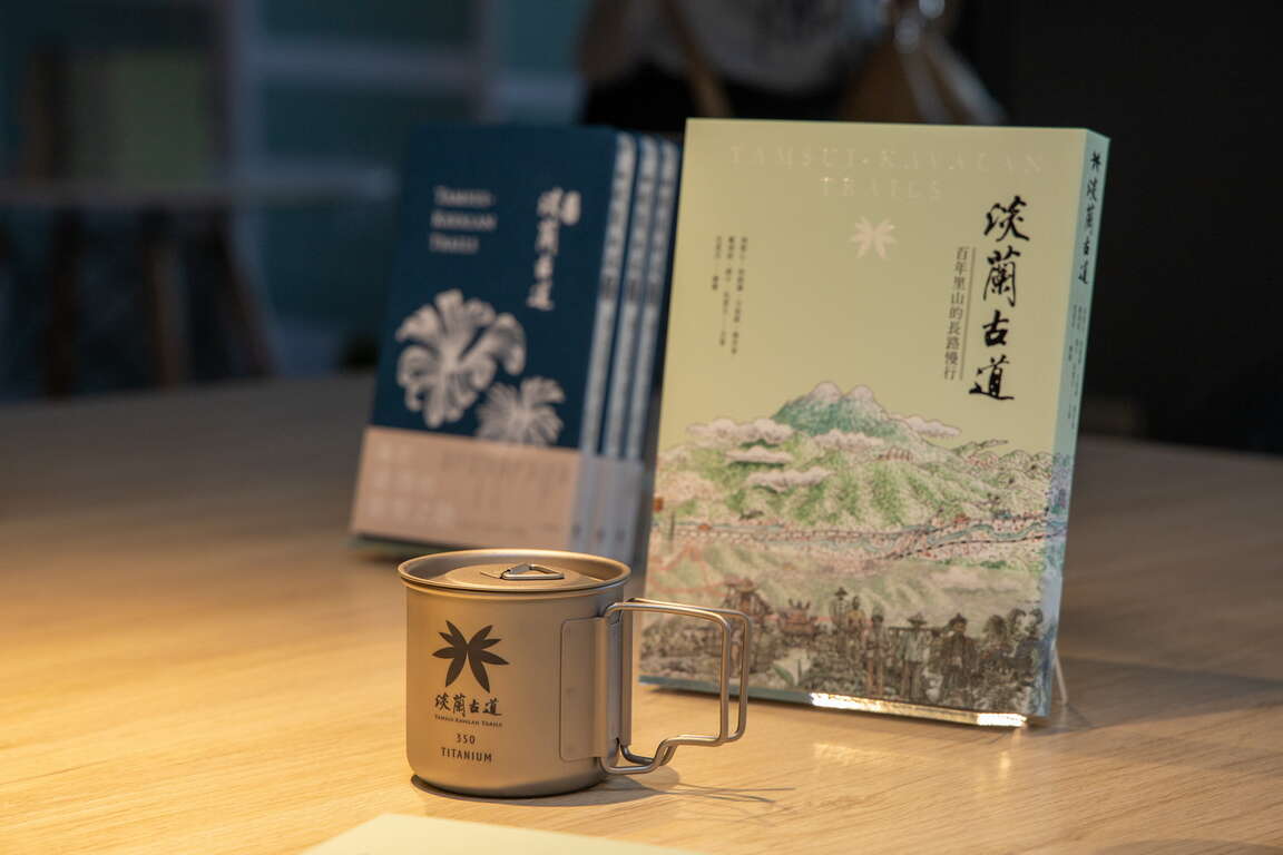
The first travel guidebook for the Tamsui-Kavalan Trails, titled "Tamsui-Kavalan Trails – The Northern Section", was brought to life through the combined efforts of the Taiwan Thousand Miles Trail Association, historians, and mountaineering experts who possess an intimate knowledge of these trails. After meticulous planning and 18 months of dedicated compilation, the guidebook was officially launched. The book provides insights into the cultural history, town stories, flora and fauna ecology, along with recommended routes along the northern section. Its high-quality layout garnered immediate acclaim upon release, and to date, it has undergone five printings. Many travelers set out on the northern section of the Tamsui-Kavalan Trails with this book in hand to experience these historic trails step by step, and craft their own unique stories along the way.

淡蘭古道-百年里山的長路慢行 (1)

2020 – The website themed on the Tamsui-Kavalan Trails
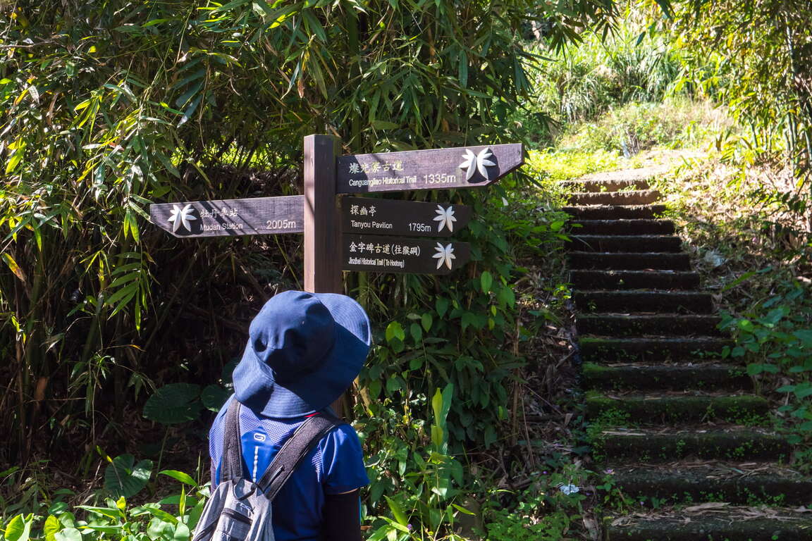
A website themed on the Tamsui-Kavalan Trails was developed relying on the smart technology. This innovative UI/UX interactive trail map simplifies the intricate network of trails within the Tamsui-Kavalan Trails. From users' perspective, this website integrates and interfaces information related to pre-trip preparations, itinerary planning, GPX data, transportation, weather, and rest stops. Easily capture all types of hiking information, and comprehensively explore the abundant history, culture, humanities and ecology of the Tamsui-Kavalan Trails.


2022 – “Tamsui-Kavalan Trails – The Long and Slow Journey through Centuries-Old Satoyama”
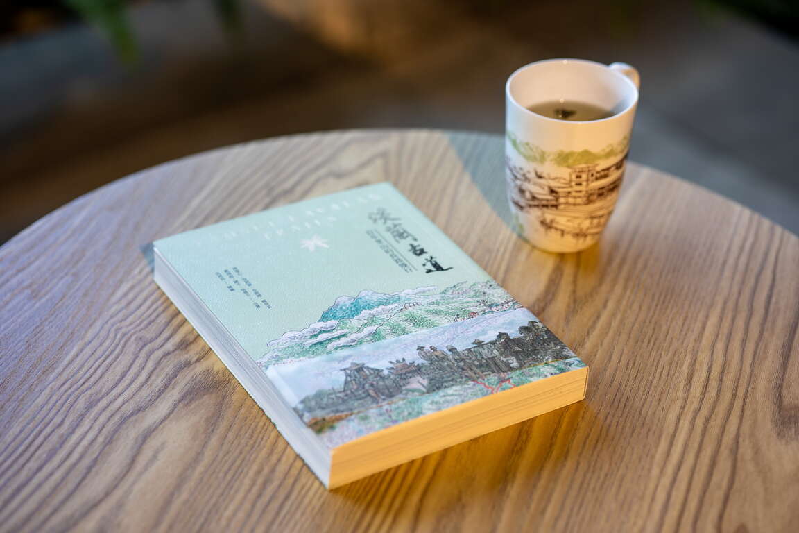
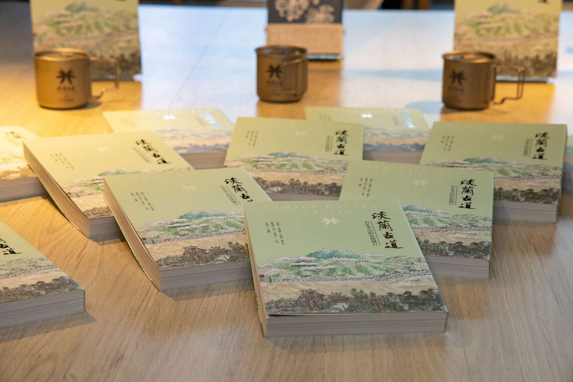
Following the publication of the acclaimed "Tamsui-Kavalan Trails – The Northern Section", the Tourism and Travel Department of the New Taipei City Government once again collaborated with several experts of the Tamsui-Kavalan Trails to introduce the book "Tamsui-Kavalan Trails – The Long and Slow Journey through Centuries-Old Satoyama". This book portrays the travel experiences along the northern, central, and southern sections of the Tamsui-Kavalan Trails, along with visits to the stories of 22 local artisans and businesses within the Tamsui-Kavalan Trails. It includes a practical hiking guide for the entire route and exquisite photographs. The book also features an exquisite fold-out map, hand-painted by an artist who has received the Golden Tripod Award after personally walked through all sections of the Tamsui-Kavalan Trails. It also includes the stories behind the planning and branding of the Tamsui-Kavalan Trails, with the hope of embarking on the next century together.
淡蘭古道-百年里山的長路慢行
淡蘭古道-百年里山的長路慢行 (2)

The Tourism and Travel Department of the New Taipei City Government has successfully promoted the Tamsui-Kavalan Trails for many years. Today, these trails are internationally and domestically renowned long-distance trail. In addition to marketing and promotion through the internet, videos, and books, the Department has also collaborated with numerous non-governmental organizations to organize activities such as handcrafted trail workshops, mountaineering seminars, and National Greenway guide training. Let this centuries-old historical trail continue to thrive through people's interactions and visits.
淡蘭登山講座


Previous
Top Choice for People with Mediocre Incomes- The Shuidui Park
Does it bore you to find a restaurant to dine every time you go on a date with your loved one? Does the unchanged schedule make the both of you lose the feeling of freshness? It is time to make some changes! Find your partner to experience different holiday activities and make some sweet memories that will increase the affection. The Shuidui Park is located in the suburban area of Taipei City therefore it is convenient for people to get to the Park. The reason we strongly recommend you to come is the design of the Park is one of a kind. The Park goes up "level by level" , and the view on the platform on the top is amazing. You are able to see the whole New Taipei City on the platform. Besides, the night view there won't be less than the view on the top of Taipei 101. Simply bring your brewed coffee and handmade food here and you can have a special and romantic meal. The Shuidui Park has become a landmark for affectional bonding!The area of the Shuidui Park is 10.50 hectare, including a healthy hiking trail, biking trail, jogging trail and 3 other trails. Trees are planted along the trails for people to enjoy the shades while hiking on the trails in summer time. Moreover, there are 7 named pavilions at the Park. People visiting the Park can enjoy the phytoncide before enjoying the amazing view!The most special thing about the Shuidui Park is that the Park is constructed beside the mountains. Centered on the mountain peak and the Park is built into a fan-shape layout. The closer you are to the mountain peak, the narrower the stair you step on is. Another special design is the slope design. On the slope you will find 10 levels with a large numbered installation art on each level. The joy of collecting the number of the installation art will help you forget the exhaustion of hiking! Besides, a pavilion is constructed on each level. The Park is suitable for children and elders to walk around at ease.Surprisingly, the 6th level has the best view at the Park. The platform on this level is spacious. The exercise equipment is established on the platform, and the creative letter chair of "SDWUGU" that Internet celebrities love is also established. The armrest table in the front is where you can take a sip of coffee and have some snacks. (Remember to bring the trash with you when you leave!)Check-in on Instagram Together! Taking a Romantic Photo Here Is a Must for Couples.The Taipei 101 has the world-famous view and New Taipei City has the view too! When hiking along on trail to meet the amazing view at the destination, you will find dense trees covering both sides of the trail. People without exercising habits such as elders and children can still hike on the trails easily. Walking around and sweating a little bit to take in some phytoncide is the cheapest way to release stress and the best way to increase affection. To wait from day to night for the amazing night view is totally worth a while!Nearby Places to Go North Coast & Guanyinshan National Scenic Area -->Yinghan Peak and Yinghan Trail
Next
The Xingfu Waterfront – Exploring New Taipei by cycling
The irrigation and water transportation provided by the river have nurtured countless civilizations and the rise of many big cities. The most important river in northern Taiwan, Tamsui River, supports more than 8 million residents in its basin. Going back in time to the 18th century, the center of the Greater Taipei area was Xinzhuang by the riverbank. "Xinzhuang Port crowded by thousands of sails, and the market lit by thousands of household lights" entails the reputation of prosperity that Xinzhuang enjoyed. In mid-19th century, Tamsui became an important international commercial port. However, due to river siltation and pollutions caused by rapid industrialization, Tamsui River was forgotten by residents. After years of improvement efforts, the riverside in New Taipei is once again a great place for citizens to enjoy relaxation and recreation.New Taipei City has a 1,382-hectare riverside park. Complete bicycle paths are made available along Tamsui River and its three tributaries—Dahan River, Xindian River, and Keelung River, with a total length of 210 kilometers, which is equivalent to the distance between Banqiao, New Taipei and Douliu, Yunlin! There are six major bicycle routes in New Taipei City, including Bali Left Bank, Golden Coast, Xizhi, Erchong Circular, Dahan River, and Xindian River. Hop on a bicycle and explore New Taipei from the waterfront at the speed of 15km per hour!(Map created by Water Resources Department, New Taipei City Government) Bali Left Bank Bicycle PathFrom Guanyinkeng Creek Estuary to Baxian Coast: 14 kilometers[Route] Guanyinkeng Creek Estuary -- Guandu Bridge -- Bali Ferry Dock -- Laorong Bunker -- Sustainable Development Education Center -- Bali Left Bank Park -- Waziwei Nature Reserve -- Bali Cultural Park-- Shihsanhang Museum of Archaeology -- Xiaguzi Fishing PortBali, located on the left bank of Tamsui River, is connected to Tamsui by ferries and Guandu Bridge across the wide Tamsui River. It is a port with a long history in New Taipei. Shisanhang Museum of Archaeology, an important archaeological site in Taiwan, is also located in this area. Cycling from the starting point of Guanyinkeng towards the estuary, you will see Guanyin Mountain on the left and Tamsui River on the right. On the way, you will pass by Guandu Bridge, Bali Ferry Dock Old Street, Shisanhang Museum of Archaeology, and other major attractions. Bali is also one of the top areas in terms of green space per capita. There are many inclusive parks along the route, such as Shanggang Park, Ferry Dock Park, Pianzigou Park, Shuixinggong Park, Shisanhang Cultural Park, and Bali Left Bank Park. The BALI landmark at Bali Left Bank Park is a popular social media photo spot.The casual atmosphere of Bali has brought many coffee shops here. Choose a coffee shop to spend a relaxed afternoon or visit Ferry Dock Old Street to taste the famous Shuangbaotai (fried pastry) and various fried seafood to satisfy your inner foodie!Golden Coast Cycling RouteFrom Guanhai Park to North Coast: 16.7 km[Route] Guanhai Park (the border between Taipei and New Taipei) -- Guandu Bridge -- Zhuwei Pier -- Mangrove Nature Reserve -- Golden Coast Riverside Park -- Tamsui Old Street -- Tamsui Ferry Dock -- Banyan Embankment -- Tamsui Customs Wharf Park -- Fisherman's Wharf -- Danhai New Town -- North CoastThere are many eateries on Tamsui Old Street. The most representative dish, A-gei, is made by hollowing out the middle of fried tofu, filling it with fried cellophane noodles, soaking it in a sauce, sealing it with fish paste, and finally serving it with a sweet and spicy sauce drizzled on top. It is a seemingly simple but unforgettably tasty dish.Xizhi BikewayFrom the border between Taipei and New Taipei to Wudu (towards Keelung): 9.8 km[Route] The border between Taipei and New Taipei -- Beishan Bridge -- Nanyang Bridge -- New Shehou Bridge -- Jiangbei Second Bridge -- Chengzhong Pumping Station -- Wudu Railway Station -- Wudu (towards Keelung)Xizhi, located at mid-stream Keelung River, was known as Shuifanjiao in the past. Situated between Taipei City and Keelung City, it is the most densely populated area on the east side of New Taipei City. Its early development was due to the rise of river transportation on Keelung River, in which Xizhi became an important distribution center for tea and other goods from the neighboring mountains. Keelung River is the most tortuous among the three tributaries of Tamsui River. You can feel the unique landscape of this river when cycling along the bank. The most eye-catching landmark of this bikeway is the Starlight Bridge that is shaped like a microphone. This single-tower, cable-stayed bridge is for pedestrians and bicycles only. Along the bikeway, there are major attractions such as Xizhi Old Street, Xizhi Jide Temple, and Wudu Tunnel Bicycle Path.Xizhi Night Market is a treasure trove of delicacies, including stinky tofu, Chinese angelica duck, shaved ice, ba-wan (Taiwanese meatballs), and Taiwanese fried chicken, waiting for you to discover.Erchong Circular BikewayOne lap of the bikeway: 20 kilometers[Route] Floodway Sports Park -- Xingfu Waterfront Park -- Floodway Lotus Park -- Floodway Waterfront Park -- Floodway Central Park -- Floodway Zhuifeng Park -- Floodway Marsh Park -- Floodway Canal Park – Floodway Luti Park -- Breeze Canal -- Floodway Ecological Park -- Tamsui Riverside Park -- Duckie Park -- Floodway Sports ParkErchong Floodway was part of the Greater Taipei Area Flood Control Plan. It connects with Tamsui River on the east side to form a circle that bounds Luzhou, Sanchong, and part of Wugu as an island, which connects to Xinzhuang, Wugu, and Taipei City by a dozen of bridges. One lap of Erchong Circular Bikeway is about 20 kilometers long. New Taipei City Government has planned a number of sports and entertainment venues at Erchong Floodway, including New Taipei Metropolitan Park, Xingfu Water park, Breeze Canal, and Chenguang Bridge, which is designed for pedestrians and bicycles only. Along Tamsui River, there is Sanchong Air Force Military Kindred Village No. 1, which is an important cultural asset of New Taipei. Anti-aircraft artillery positions and underground tunnels there have been preserved and now used as a shooting location for film crews.Sanhe Night Market next to MRT Taipei Bridge Station is where many eateries that have been in business for more than 30 years are, selling delicacies such as sesame oil chicken soup, wontons, ba-wan (Taiwanese meatballs), herbal tea, and papaya milk. They are great snacks after exercising. Dahan River BikewayFrom Left Bank - Taoyuan City border to Sanchong: 24.7 km[Route] Taoyuan City border -- Yingge Ceramics Museum -- Sanying Ceramics Park -- Ganyuan Riverside Park -- Shulin Riverside Environmental Park -- Lujiao Creek Constructed Wetland -- Xisheng Riverside Environmental Park -- Sanchong Riverside Environmental Park -- Floodway Sports ParkFrom Right Bank - Changfu Bridge to Huajiang Bridge: 19.5 km[Route] Changfu Bridge – Sanxia Bridge -- Sanjiaoyong Bridge -- Xibei Riverside Park -- Tucheng Environmental Park -- Tucheng Mazutian Riverside Park -- Fuzhou Sports Park -- Banqiao Environmental Park -- Fuzhou Arts Riverside Park -- Huajiang BridgeDahan River, formerly known as Dakekan River, is the longest tributary of Tamsui River. Its upper reach is the catchment area of Shimen Reservoir, which supplies water to Taoyuan City and the west side of New Taipei City. After entering New Taipei City, it passes through Yingge, Sanxia, Shulin, Tucheng, Xinzhuang, Sanchong, and finally merges into Tamsui River with Xindian River in Jiangzicui, Banqiao. The first section of Dahan River Bikeway is the heart of New Taipei City's art and creativity. Yingge Ceramics Museum and the upcoming New Taipei City Art Museum are here. The middle section passes through a number of ecologically rich wetland parks, such as Lujiao Creek Constructed Wetland, Fuzhou Constructed Wetland, and Xinhai Constructed Wetland. In the last section, you can find 435 Art Zone, which is suitable for families with children; and the most beautiful landmark on Dahan River, Crescent Bridge, which is the longest double-span steel arch bridge in Taiwan.Dahan River has deep culture and history. The most prosperous Xinzhuang Temple Street of Greater Taipei in mid-Qing Dynasty is still busy today. Xianguang cake, which is a temple street specialty is shaped like a bagel or donut with a mixed savory and sweet taste. It carries good blessings so you will be safe and sound after eating it. Sanxia Old Street is famous for its Baroque facade buildings and red brick archways, developed in late Qing Dynasty and the Japanese Rule period. The famous Golden Croissant also originated from the market of Sanxia. A variety of flavors and methods to enjoy them have been developed over time. It is a popular souvenir from Sanxia.Xindian River BikewayFrom Huajiang Bridge to Bitan Scenic Area: 16 km[Route] Huajiang Bridge -- Butterfly Park -- Yonghe Emerald Riverside Park -- Luguang Riverside Park -- Xiulang Bridge -- Xiulang Qingxi Park -- Sunshine Sports Park -- Qinqing Riverside Park -- Xindian BitanXindian River has high-quality water and is the hometown of Taiwan sweetfish. The upstream tributary, Beishi River, constitutes the most important reservoir supplying water to the Taipei Metropolitan Area, Feicui Reservoir. Xindian River Bikeway starts from Jiangzicui, Banqiao and ends at Bitan, Xindian. It passes through four major administrative districts, namely Banqiao, Zhonghe, Yonghe, and Xindian. There are many theme parks along the way, such as the popular social media photo spots Butterfly Park and Dinosaur Park. You can also visit Yang Sanlang Art Museum to learn about the development of modern art in Taiwan. In Xindian, you can find Sunshine Bridge of Xindian River that is exclusive to pedestrians and bicycles, as well as Bitan Scenic Area. The scenery here can be enjoyed day and night.Yonghe Soymilk, which originated from the Zhongzheng Bridge area of Yonghe, is now well-known at home as well as abroad. After visiting Yang Sanlang Art Museum, it is the perfect timing to visit the founding store to taste the rich and silky soymilk.Xingfu Waterfront is the most open area in the most densely populated city of Taiwan. Riding along the riverbank at a speed of 15km per hour in the breeze, after leaving the noisy concrete jungle, you will find the waterfront without cars or motorcycles as a quiet and calming path. At the same time, you will be delighted to find out that besides humans, there are many creatures living among us in this city. Hop on a bike, with a different vision and mood, set off to the waterfront!
Back to the top of page
小客帶路