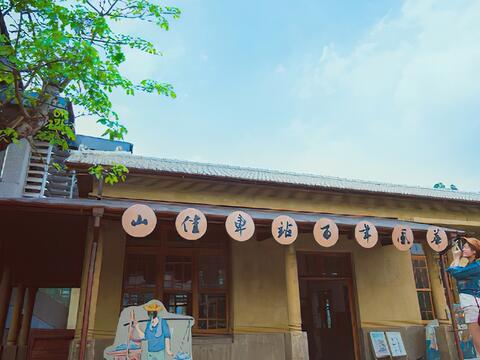
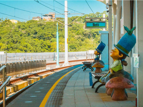
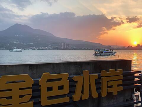
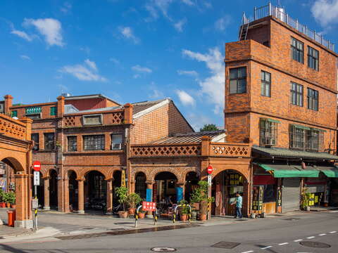
In the city, people are rushing around for work every day. The pace of life is so fast that it is impossible to relax. After getting off work, the advertisements on the street and various notifications on the mobile phone are holding our eyeballs hostage. You must feel exhausted from this kind of life. "Sometimes, sometimes" suggests that you should get rid of the stimulus that is imposed on the "window to the soul." Take Danhai Light Rail from Tamsui, ride in the blue train, and feel the blue sky and the sea in the transparent carriage!Stroll through the 4-kilometer-long dreamy cherry blossom tunnel and collect the Jimmy-themed sculptures that are loved by adults and children along the Light Rail. Visit the century-old Sanheyuan, Gongsitian River Cheng's Ancient House. Cycle back to Tamsui Old Street along the Tamsui Golden Coast Cycling Route in the evening, accompanied by the golden sunset. This will be a trip where you can't help but keep pressing the shutter!Sometimes, sometimes: Jimmy's public art along Danhai Light RailDanhai Light Rail is the second light rail system in Taiwan and an important outbound transportation system for Danhai New Town. During the design phase, Danhai Light Rail collaborated with the well-known illustrator/author Jimmy, who, under the theme of "Sometimes, sometimes," created public artworks at eleven MRT stations of the Green Mountain Line. If you observe carefully, the chairs in the waiting area, card sensors, and sculptures in the station all got the hidden ingenuity of Jimmy. The sense of fantasy and healing in Jimmy's illustrations jumped from paper into the reality. Listen carefully - the music that goes on when the Light Rail train enters the station was also specifically chosen to match the atmosphere.The mambo of blossoms: Huwei Cherry Blossom Avenue and Beitouzi Creek Cherry Blossom Trail"The train is arriving at, Danjin Denggong Station." Looking towards the right, the cherry blossom tunnel will be right in front of your eyes! Huwei Cherry Blossom Avenue is named after the ancient name of Tamsui, Huwei. The 4-kilometer-long Huwei Cherry Blossom Avenue is full of Yoshino cherry blossoms and Taiwan cherry blossoms. You can overlook Datun Mountains from here too. It is the longest cherry blossom trail in the world.Beitouzi Creek Cherry Blossom Trail next to Danjin Beixin Station is 3.5 kilometers in length. More than 100 Yoshino cherry trees are planted along the trail. During the blooming season, both sides of the trail are covered by pink cherry blossoms. Many visitors are brought here by the beautiful scenery. It is a tranquil garden in Danhai New Town.The ding-ding-dong commuter train: Gongsitian River Cheng's Ancient House Danhai Light Rail changes from an elevated section to a road-level section after passing Tamsui District Office Station. The ding-ding-dong sounds became a part of the soundscape of this location, warning road users that the Light Rail train is about to pass. Around Binhai Shalun Station, where the line splits into the Green Mountain Line and the Blue Coast Line, there is a hidden century-old ancient house that has witnessed the past of Danhai area.Cheng's Ancient House was built during the Guangxu period of Qing Dynasty. It is the first traditional residential house in Tamsui District to be designated as a historic building. The structure is of a typical Sanheyuan, surrounded by bamboo reed and ditches, showcasing the beauty of Minnan architecture in early Tamsui. The roof ridge is of the "golden mabei" format, and the side wall is made of andesite. There is even an embrasure in the design for resisting thieves! This place was also an ancient battlefield of the Sino-French War in 1884. During the Battle of Huwei, Qing army deployed troops near the ancient house and successfully fended off the attack of the French army.Never-ending wishes: Tamsui Fisherman's WharfFisherman's Wharf Station, the terminus of the Blue Coast Line, is the top spot in northern Taiwan for enjoying the sunset. Lover's Bridge during the magic hour is particularly stunning. You can close your eyes and try using the other senses to feel the moment. The temperature would become more pleasant around this time. Ride a YouBike along the Golden Coast to Tamsui MRT Station. Gaze at Guanyin Mountain on the other side of Tamsui River and Danjiang Bridge that is currently under construction. From here, you can draw the perfect ending to the trip and be on the way home with great satisfaction.
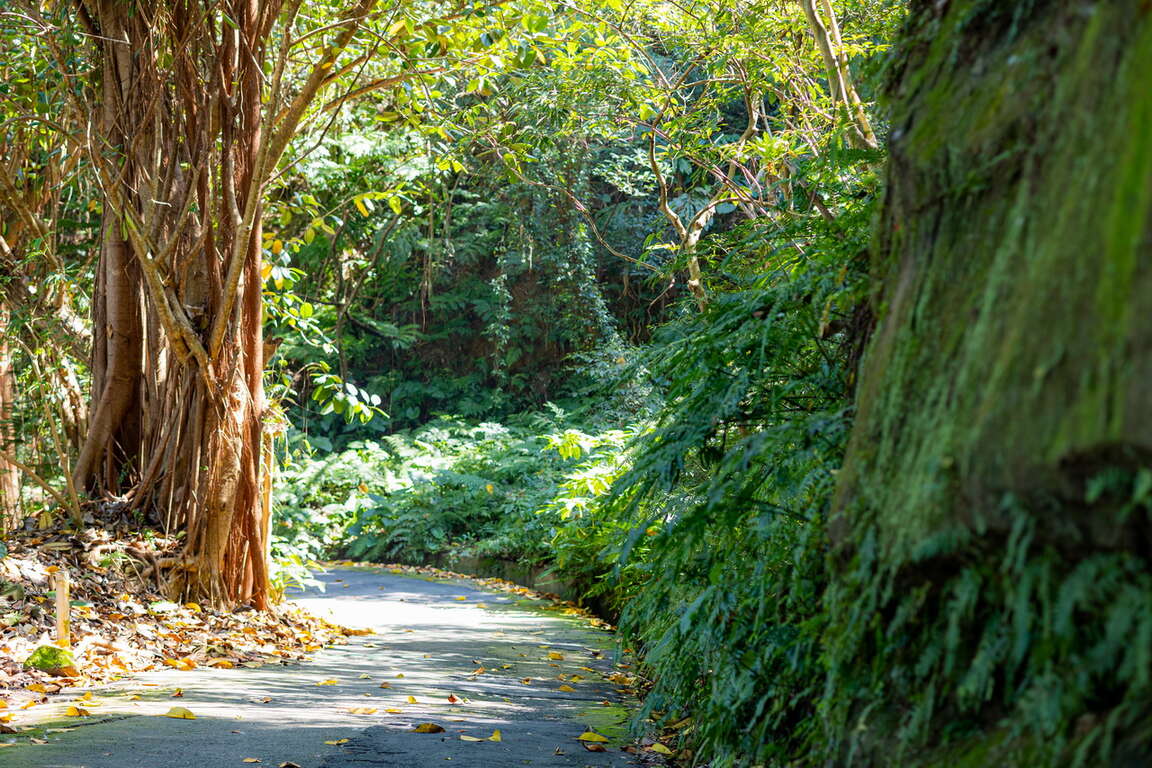
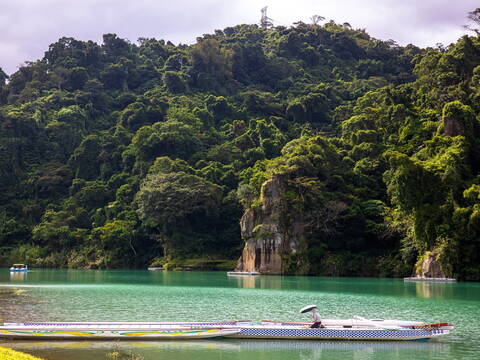
 Shitou Mountain
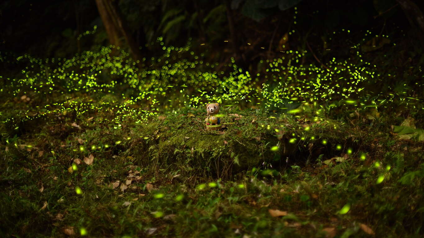